AS FEATURED IN
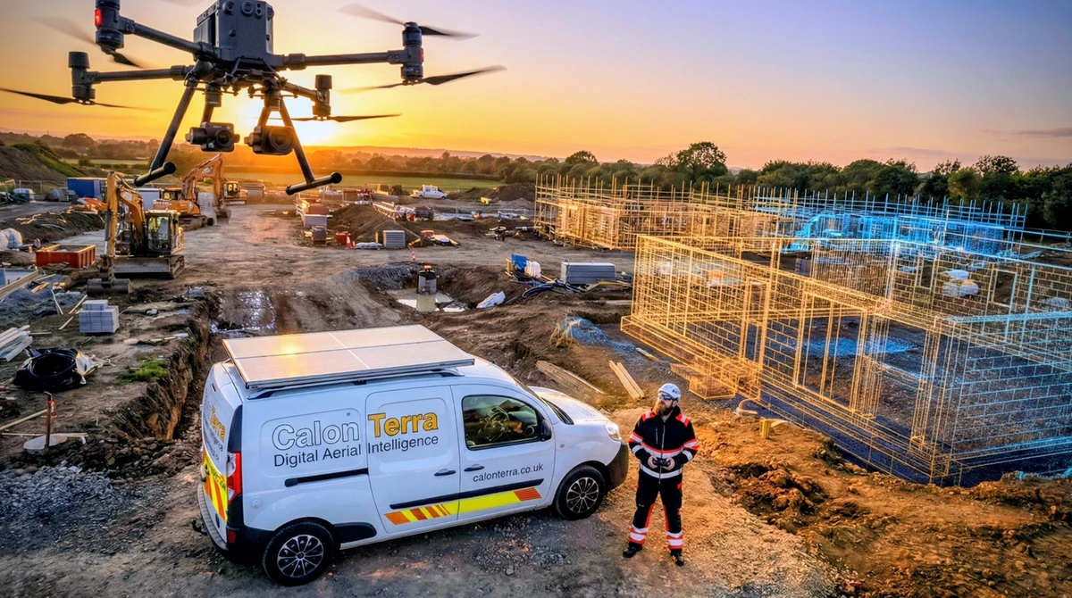
The CalonTerra Difference
Independent Data Collection. We are not roofers.
As professional drone surveyors, our goal is Digital Aerial Intelligence, not repair commissions. Because we do not sell roofing services, we have zero incentive to find unnecessary faults.
Our data is impartial, irrefutable, and evidence-grade—perfect for insurance claims, pre-purchase surveys, and commercial asset management across Gwent and Glamorgan.
Evidence-Grade Reports
- 📍 High-Res 4K Imaging
- 📍 Thermal Leak Detection
- 📍 ISO 19650 Compliance
- 📍 Impartial Expert Witness
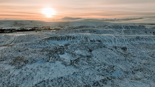
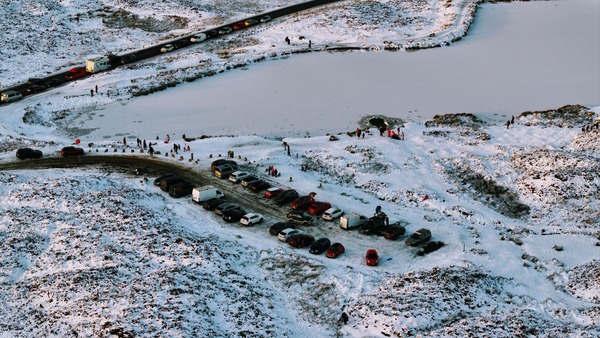
Latest Press Coverage
Trusted by national media to document critical weather events.
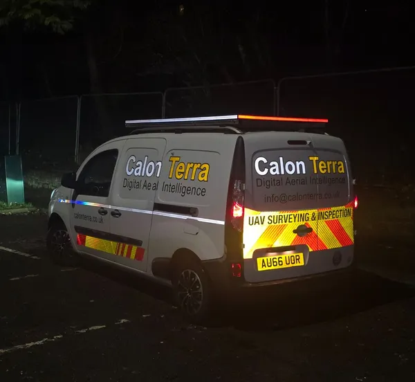
Fully Insured
£5M Public Liability (Coverdrone)
Weather Guarantee*
Zero upfront cost. We only charge once we fly.
CAA Authorised
CAA Operational Authorisation (GVC)
*Our guarantee ensures you are not left out of pocket due to weather delays. Rescheduled flights are billed at the quoted rate upon successful deployment.
Deployment Zone Checker
Select your town to check if you are in our Local (Free Travel) or National zone.
Detailed Service Breakdown
Select your sector for technical specifications.
Commercial Audit
High-level inspection for Dilapidation Surveys and preventative maintenance.
View CommercialTopographical
For Architects & Developers. Precision land mapping, 3D Point Clouds, and Volumetrics.
View TopoWhy Choose CalonTerra?
We are not just "Drone Operators." We are Data Architects.
Information Management
Data delivery and file naming conventions aligned with ISO 19650 protocols for BIM integration.
Data Security
Cloud storage and client portal access designed to UK Cyber Essentials standards (2FA, Encryption).
Site Safety
Risk assessments (RAMS) and site protocols aligned with EUSR SHEA (Utility) awareness.
The Efficiency Gap
Drone-based surveys cut project times from days to hours.
Save 70% vs Scaffolding
Access costs alone often exceed the full price of a high-resolution drone inspection. Eliminate hire fees and downtime.
Eliminate Height Risk
Every hour spent at height represents liability. We operate safely from the ground, keeping your team (and ours) safe.
Zero Downtime
A simple UAV flight requires minimal footprint and usually zero interruption to site operations.
Safety is our Core Product
Compliant. Insured. Accredited.
Protocols aligned with NFPA 70E & ISO 45001.
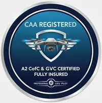
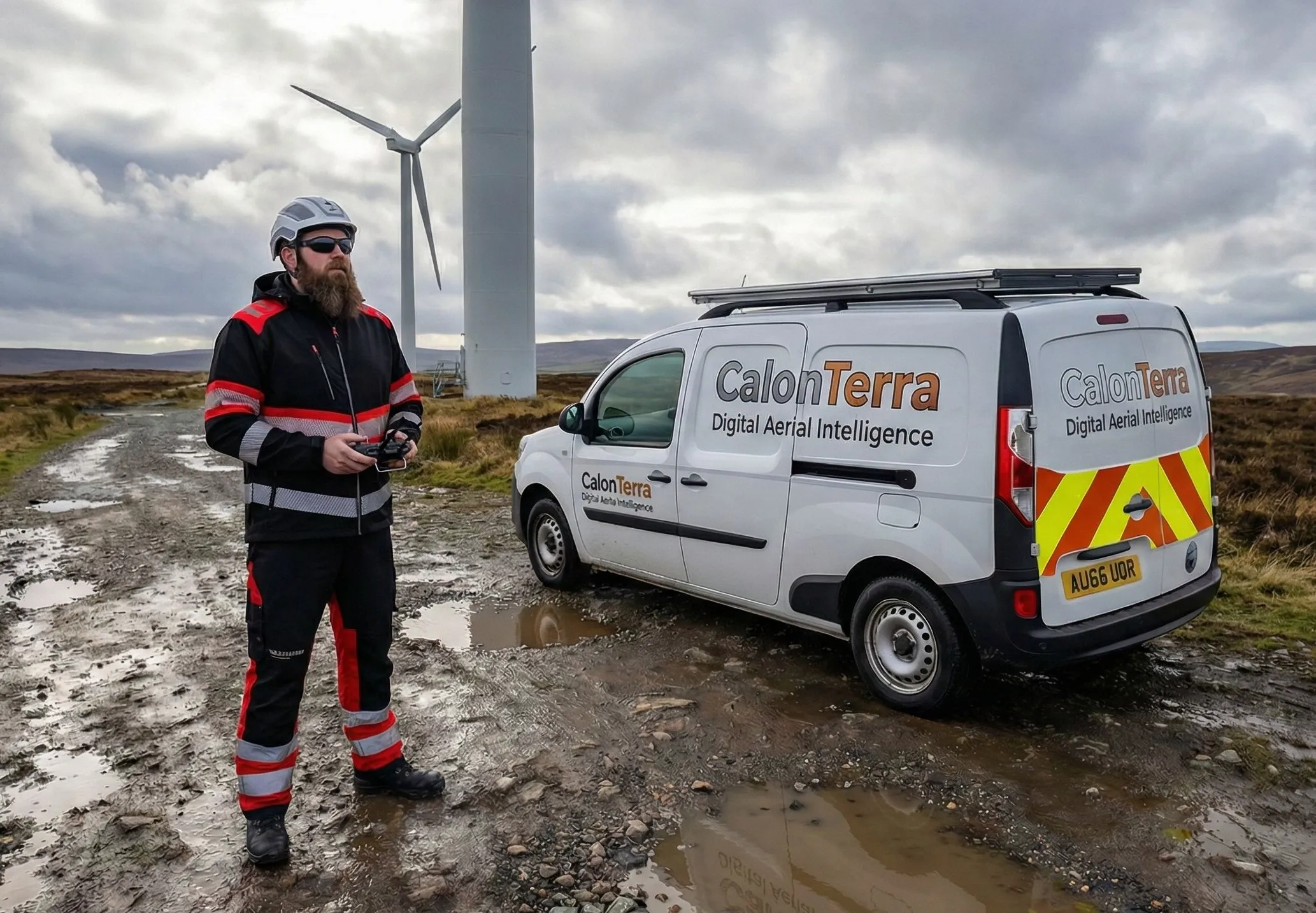
CAA Certified Pilot
GVC & A2 CofC Compliant | Fully Insured (£5M)
- ✅ Two-Person Crew: Pilot & Spotter mandatory for 360° awareness.
- ✅ Stationary GCS: We never "walk and fly." Defined safe zones only.
- ✅ Adaptive PPE: Full construction spec or residential friendly.
- ✅ Chapter 8 Vehicles: Equipped for all infrastructure environments.
What Our Clients Say
Rated 5 Stars across Google and Industry Directories.
"Marcus helped us out last week. We were struggling to find someone to check my roof after the storm so close to Christmas... he found a few cracked tiles that were letting in water. Really grateful for his help. Definitely worth 5 stars."
Stephen
Verified Google Review
"Excellent service."
Jonathan
Verified Cylex Review
Instant Estimate / Booking
Select your service type below (Residential or Commercial).